Editor's note: The annular solar eclipse is over. Read our wrap story to learn what happened today during the 'ring of fire' eclipse!
You can keep up with the latest eclipse news with our annular solar eclipse live blog, which will be updated throughout the event.
The annular phase of the eclipse, whereby the largest proportion of the sun is covered, occurs at 7:12 a.m. EST (1212 GMT).
During a solar eclipse, the moon passes between the sun and Earth, casting a lunar shadow upon our planet. The moon's orbit around Earth is slightly elliptical; sometimes it's farther from Earth, sometimes it's closer. During an annular solar eclipse, the moon is relatively far from Earth and does not fully cover the sun's disk as we see during a total solar eclipse. Instead, it produces a distinct ring of light in the sky, the "ring of fire".

When can we next see a solar eclipse?
The next solar eclipse visible to more people than penguins will be a total solar eclipse on Aug. 12, 2026.
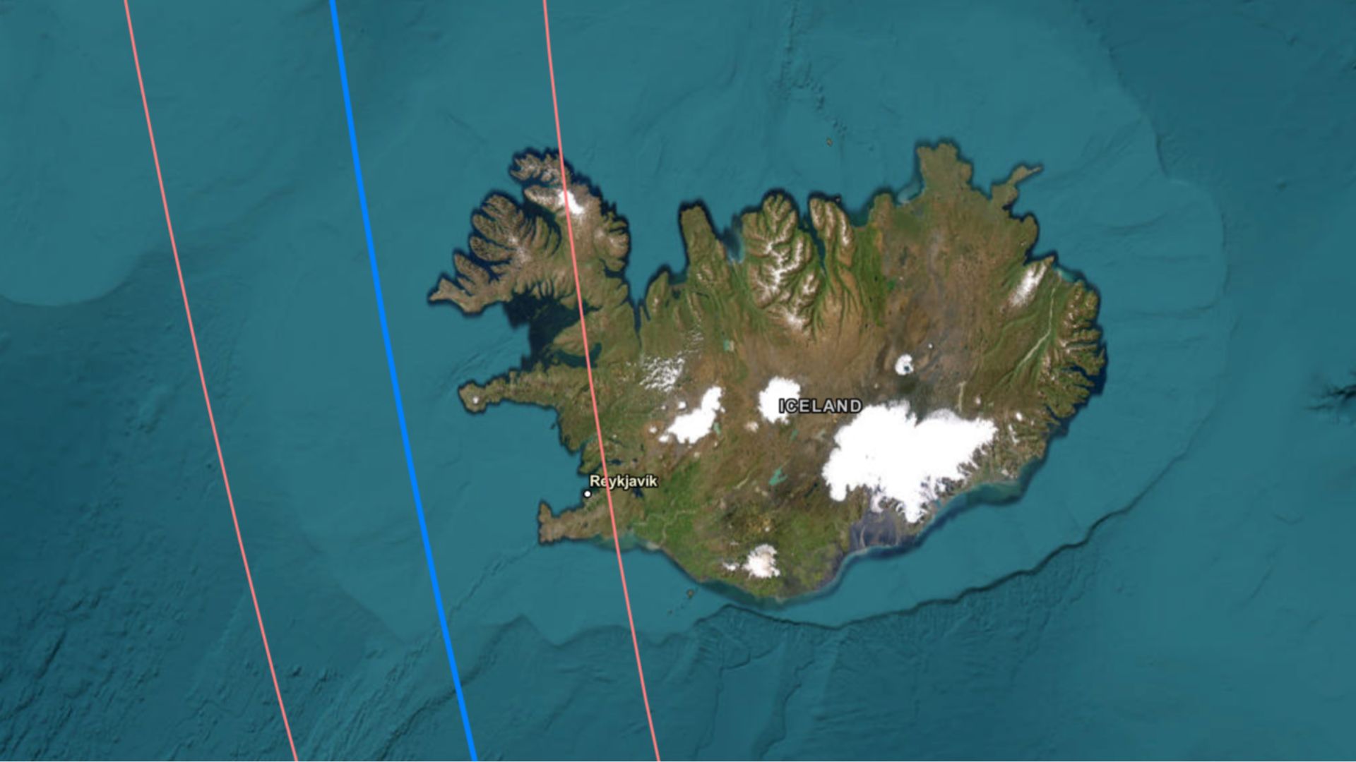
The total solar eclipse will be visible in Greenland, western Iceland, and northern Spain, bringing a maximum of 2 minutes and 18 seconds of totality, the day before the peak of the annual Perseid meteor shower.
If you're looking for some inspiration for planning an eclipse 2026 trip, check out our roundup of the best cruises for the total solar eclipse 2026 and the 16 best places to view the total solar eclipse 2026.