A geospatial chat in both senses: a platform about geospatial topics and a geospatial platform itself, referencing the location of our communities. Communicate your next meetups or simply get to know the spatial folks in your area! You can also use gis.chat as a normal forum about interesting topics, events or Q&A tool.
It's free, open source and you can even peak at some channels without account! Say hi in the Welcome topic!
Find your local community
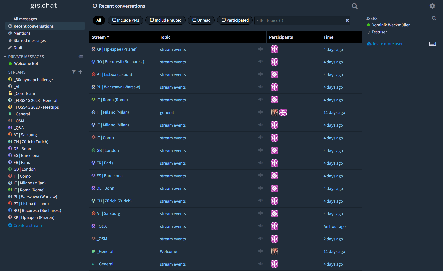
Streams
Jump right in!
About
The geospatial community is missing the geospatial!The platforms we use, may it be Messengers like WhatsApp/Signal/Telegram, social media networks like Twitter / Mastodon / Instagram / TikTok / LinkedIn etc. are great for building online communities, but they simply neglect our spatial nature. Sometimes it's nice to have someone physically around to show something locally, to ask for guidance or just have a coffee with.
Maybe you are a digital nomad and would like to get started in new country or you'd simply like to know the people in your area better!
gis.chat strives to bring people together and deliver an alternative to current social media networks. You can enjoy a multifaceted experience - from utilizing it as a news feed akin to Twitter, to actively participating in your local community, or even orchestrating your own meetups with ease Our mission is not limited to merely being a professional platform; we aspire to be a vibrant social hub for all! Curious to discover intriguing individuals in your vicinity? Simply explore our interactive map and seamlessly engage in local conversations through our chat feature.
Propose a coffee or a beer so people can join - in the spirit of #MilanoGIS!
Logic
This platform is still under development and sees itself as a community-driven effort. Some things are still to discuss, e.g. which streams should be publicly visible and which ones only accessible with an account.How to effectively use the platform
- There are two kinds of stream types:
- Local streams for communities with a spatial reference (format: 2-letter country code | local city name (English city name if different from local), e.g. FR | Paris)
- Global streams without spatial reference (currently with an underscore "_" for better sorting)
- Streams are like a common roof for a range of similar topics. For example, you can discuss how to use new machine learning models for earth observation or how to do sentiment analysis for georeferenced social media data. Both topics belong under the common roof of AI.
- Have a look at the Zulip documentation how to search for specific messages or Ask the community!.