Felt Users Are QGIS Users
Sophisticated map-makers are combining Felt and QGIS to share their maps on the web and collaborate with teams. Here are two examples of Felt users leveraging both QGIS and Felt to make a bigger impact with maps.
Sharing work on the web
When making a map, getting your data to tell the right story in powerful desktop GIS is half the battle – the second half is displaying it for others to enjoy. This was the situation journalist Stephen Sterling found himself in when he discovered Felt.
Stephen was writing an article about the increasing number of whales along the Atlantic Coast. He needed to provide his viewers with context to understand potential causes. A map was the right medium. He used QGIS to analyze and process data on highly-trafficked trip passages, recent whale strandings, and high winds, but he needed a way to annotate and share the map on the Asbury Park Press news website. He brought his data into Felt to annotate and created an embedded map on the website for readers everywhere. Between QGIS and Felt, Stephen was able to shape the data he needed to tell the story and share out his map easily.
Stakeholder Data Collection & Collaboration
Often times maps require widespread input and data collection from a larger group followed by technical processing. It’s difficult to find something user-friendly enough for all stakeholders and experience levels. Cycling advocate Will Petty discovered that this is an area where Felt and QGIS shine together. Will used Felt and QGIS to aid local authorities in their effort to improve cycling infrastructure in Hackney, London.
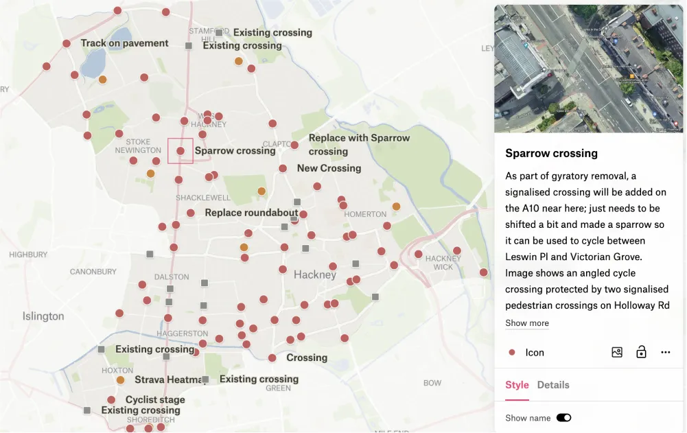
Will was working with a team of expert cyclists new to map making. He needed a way to organize all of their knowledge and provide it to the local authority in a spatial format they could utilize – like a map. Will’s team of contributors were able to adopt Felt easily and add their rich, detailed expertise of dangerous intersections to the map. Petty exported the data into QGIS to derive intersection road segments using the advanced geometry analysis features of QGIS. Switching yet again, the final recommendations were uploaded and styled in Felt before sharing with the public and local authority. Starting in QGIS and moving to Felt let the group create a feedback-ready map on the web.
.webp)