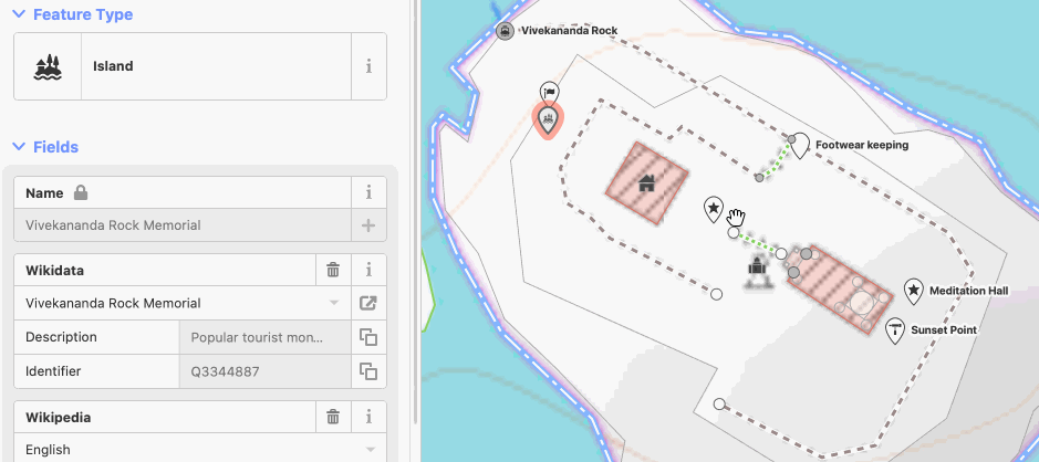
Using OpenStreetMap India map data
OpenStreetMap data is available for free download and use per Open Data Commons Open Database License (ODbL). Various data download and export formats based on user needs. Check the wiki for more details.
For a map in Indic languages, check the Indic OpenStreetMap demo and the wiki for more resources for local language maps
Download free India map data
APIs
- Query the live map data for specific objects using Overpass API. Updated minutely. `.geojson` `.csv` `.gpx` `google earth .kml`
Downloads
- Request custom data extracts from Humanitarian OpenStreetMap Team (HOTOSM). Updated 2-3 days. `geopackage .gpkg` `shapefiles .shp` `garmin .img` `google earth .kml` `.mbtiles` `maps.me .mwm` `osmand .obf`
- India OSM data extract from Geofabrik.de. Updated daily. `osm pbf` `shapefiles`
- Raw OSM data from OSM.org. Limited area. Updated minutely. `osm xml`
- Administrative boundaries clipped to land area from OSM Boundaries. Updated monthly. `.geojson`
- Snapshot of full India outline as per Survey of India from Datameet Maps. Limited area. Not updated. `.geojson`